RRB NTPC · प्रश्न 93
अंदमान & निकोबार बेटांनी व्यापलेले एकूण क्षेत्रफळ अंदाजे:
उत्तर दाखवा आणि स्पष्टीकरणस्पष्टीकरण पहा
उत्तर: (D) 8,249 चौ.कि.मी
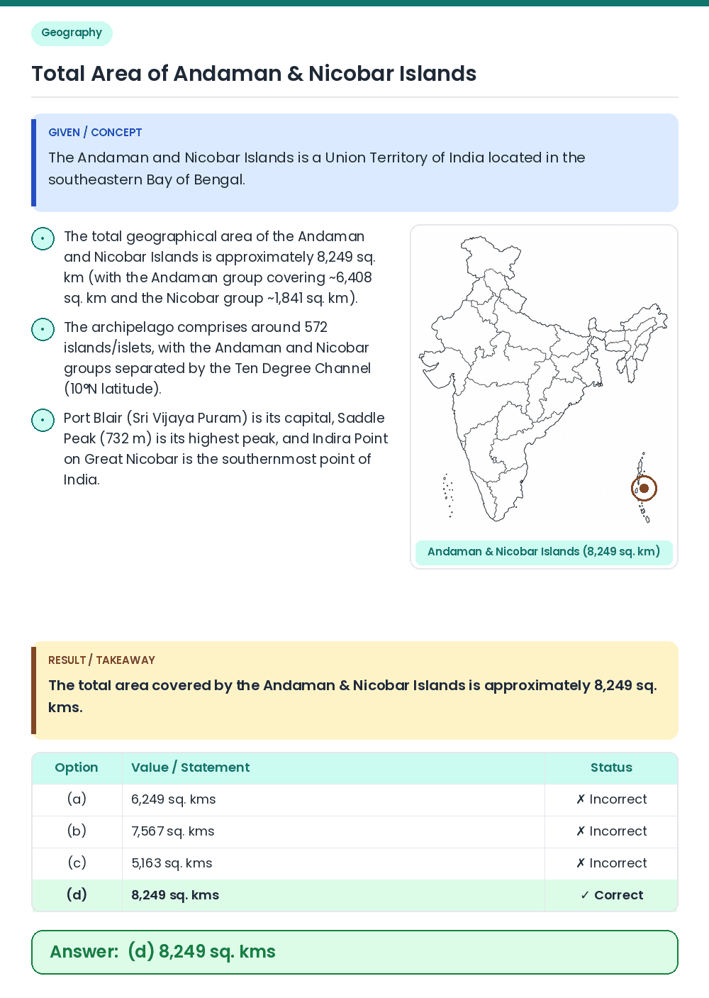
• The Andaman and Nicobar Islands is a Union Territory of India located in the southeastern Bay of Bengal. • The total area covered by the Andaman & Nicobar Islands is approximately 8,249 sq. kms. Related Facts: • The total geographical area of the Andaman and Nicobar Islands is approximately 8,249 sq. km (with the Andaman group covering ~6,408 sq. km and the Nicobar group ~1,841 sq. km). • The archipelago comprises around 572 islands/islets, with the Andaman and Nicobar groups separated by the Ten Degree Channel (10°N latitude). • Port Blair (Sri Vijaya Puram) is its capital, Saddle Peak (732 m) is its highest peak, and Indira Point on Great Nicobar is the southernmost point of India. Correct Answer: (d) 8,249 sq. kms