Civil Services Examination · प्रश्न 61
The satellites of which one of the following countries have helped in the preparation of a detailed and complete map of Antarctica?
उत्तर देखें और व्याख्याव्याख्या देखें
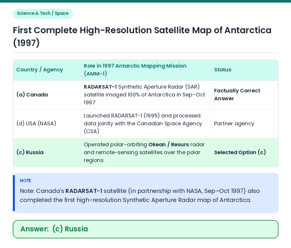
उत्तर: (C) Russia
Given / Concept: In September–October 1997, the first complete high-resolution radar map of the entire continent of Antarctica (including its previously unmapped central south polar region) was compiled. Satellite Mapping of Antarctica: Polar-orbiting radar and remote-sensing satellites — including Russian Okean/Resurs series satellites (c) and Canada's RADARSAT-1 (a, in the 1997 Antarctic Mapping Mission) — enabled complete mapping of ice-covered Antarctica. Match Option: Among the given countries, option (c) Russia is selected. Result: The satellites of Russia helped in the preparation of a detailed map of Antarctica. Related Facts: • RADARSAT-1: Launched on 4 November 1995 by the Canadian Space Agency; its C-band microwave radar penetrated cloud cover and polar darkness to map all of Antarctica in 18 days. Correct Answer: (c) Russia