Civil Services Examination · प्रश्न 22
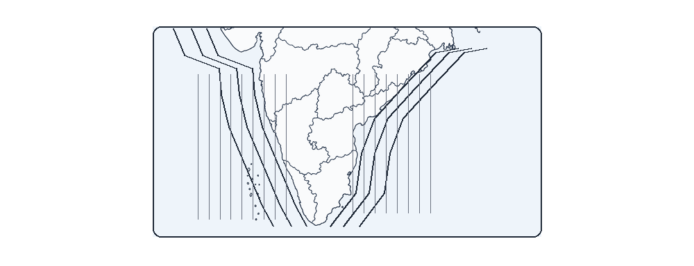
Consider the map given below: The divisions along India’s coastal region indicate
उत्तर देखें और व्याख्याव्याख्या देखें
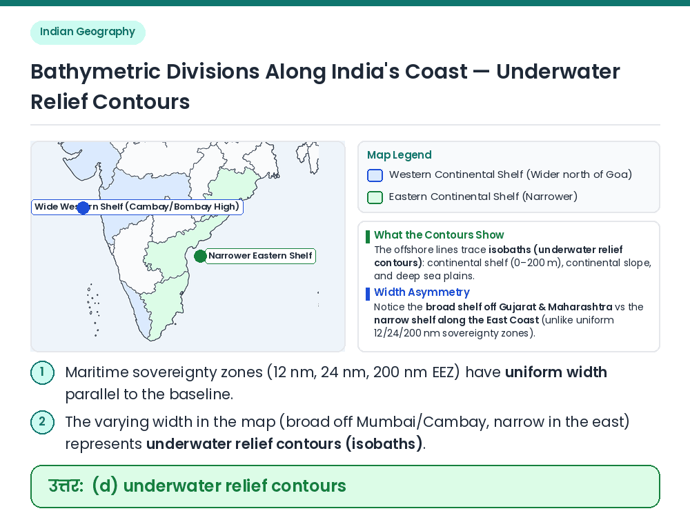
उत्तर: (D) underwater relief contours
Concept: Examine the geometry of the offshore bands along the West and East coasts of peninsular India. Width Variation: The innermost band is very wide off the Gulf of Khambhat and Mumbai (Western continental shelf) and narrow along the Eastern coast, reflecting bathymetric depth zones (continental shelf up to 200 m, continental slope, and abyssal plain). Eliminate Other Options: Maritime sovereignty zones (Territorial waters 12 nm, Contiguous zone 24 nm, EEZ 200 nm) have a uniform width everywhere along the coast, whereas salinity isopleths run roughly east–west across the Arabian Sea and Bay of Bengal. Result: The divisions along India's coastal region indicate underwater relief contours (isobaths). Related Facts: • Lines joining points of equal depth below sea level are called Isobaths. सही उत्तर: (d) underwater relief contours