Civil Services Examination · प्रश्न 53
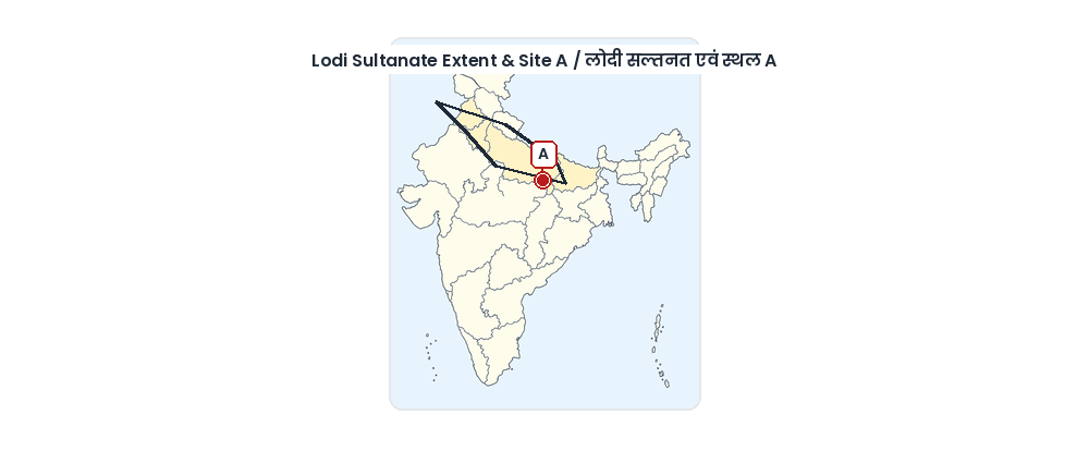
To which Lodi Sultan does the given map relate and what town does the site marked A on the map represent?
उत्तर देखें और व्याख्याव्याख्या देखें
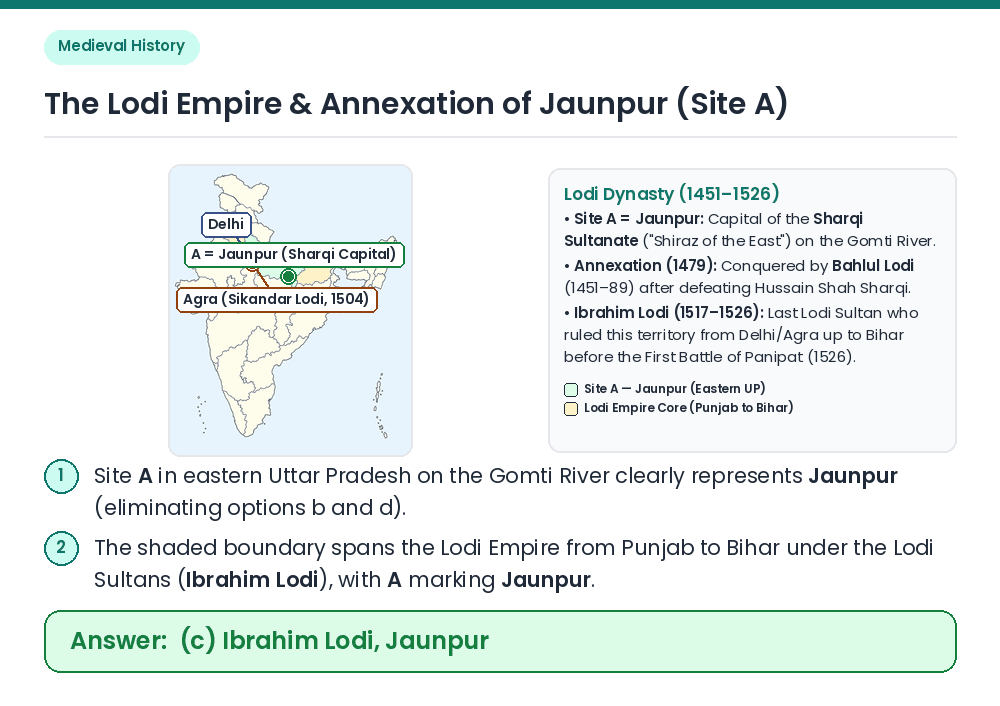
उत्तर: (C) Ibrahim Lodi, Jaunpur
Concept: Identify the territorial extent of the Lodi Sultanate (1451–1526) across the Indo-Gangetic plain and the eastern town marked 'A'. Identify Town A: Site A lies in eastern Uttar Pradesh on the Gomti River — this is Jaunpur, capital of the rival Sharqi Sultanate (eliminating options b and d which say Aligarh). Identify the Lodi Sultanate Extent: The shaded boundary shows the Lodi Sultanate stretching across Punjab, Delhi, Doab, Jaunpur, and Bihar as ruled by the Lodi dynasty culminating under Ibrahim Lodi (1517–1526), while Bahlul Lodi had earlier annexed the Sharqi kingdom of Jaunpur in 1479. Result: The map relates to Ibrahim Lodi and site A represents Jaunpur. Related Facts: • Sikandar Lodi (1489–1517): Founded the city of Agra in 1504 and introduced the measuring unit 'Gaz-i-Sikandari' (32 digits). • First Battle of Panipat (1526): Babur defeated and killed Ibrahim Lodi in April 1526, ending the Delhi Sultanate. Correct Answer: (c) Ibrahim Lodi, Jaunpur