MPPSC – State Service Examination · Question 35
UNNATI (Agri-GIS) project of Madhya Pradesh Government is for:
Show answer & explanationShow explanation
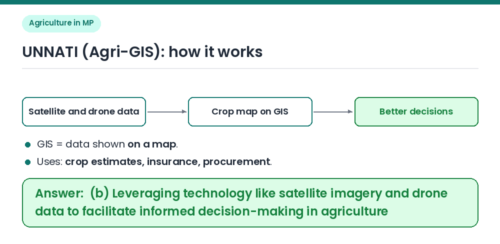
Answer: (B) Leveraging technology like satellite imagery and drone data to facilitate informed decision-making in agriculture.
UNNATI (Agri-GIS) uses satellite images and drone data to help the State take better decisions in agriculture. GIS, the Geographic Information System, is software that shows data on a map. The project maps which crop is sown in which field, how healthy it is and how much it is likely to yield. This helps in crop estimates, crop insurance claims, procurement planning and advice to farmers. (a) It gives no money for smartphones. (c) It has nothing to do with genetically modified crops. (d) It does not set up agricultural universities. Related Facts: • Girdawari, the field-wise crop record of Madhya Pradesh, is also done digitally through the SAARA app. • Madhya Pradesh has won the Krishi Karman Award seven times. • Remote sensing means collecting information about the land from satellites or aircraft without touching it. Correct Answer: (b) Leveraging technology like satellite imagery and drone data to facilitate informed decision-making in agriculture.