Civil Services Examination · Question 74
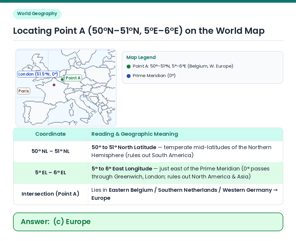
Consider the geographical details given in the following figure: The point marked by A in the above figure indicates a country in

Show answer & explanationShow explanation
Answer: (C) Europe
Given: The grid shows Point A situated between latitudes 50° NL and 51° NL (50°N–51°N) and longitudes 5° EL and 6° EL (5°E–6°E). Coordinate Interpretation: • North Latitude (50°N–51°N) places A in the Northern Hemisphere (eliminating South America). • East Longitude (5°E–6°E) is immediately east of the Prime Meridian (0°, Greenwich/London) ⇒ North America lies in West Longitude (60°W–160°W) and Asia lies east of ~26°E–60°E. • Specifically, 50.5°N, 5.5°E lies in Belgium (near Liège) in Western Europe. Result: Point A indicates a country in Europe. Correct Answer: (c) Europe