Civil Services Examination · Question 87
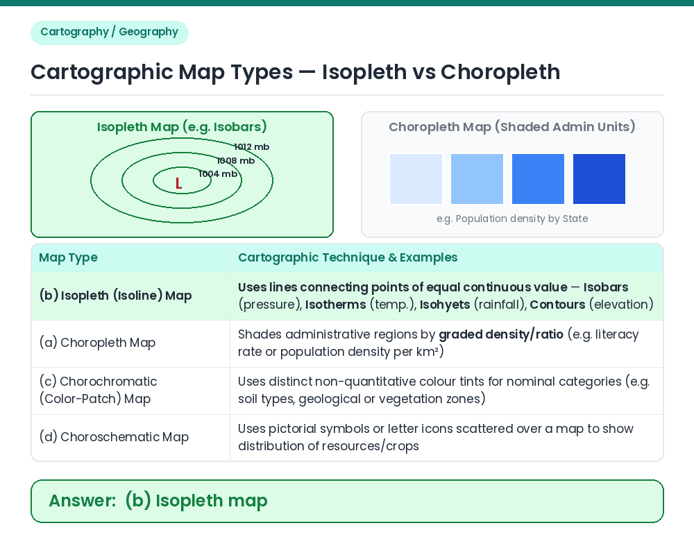
Daily weather map showing isobars is an example of
Show answer & explanationShow explanation
Answer: (B) Isopleth map
Concept: In cartography, maps depicting spatial distributions are classified into Isopleth, Choropleth, Chorochromatic, and Choroschematic maps. Identifying Isopleth Maps: An isopleth (or isoline) map represents a continuous variable by drawing lines joining places of equal value. Since isobars are lines connecting places of equal atmospheric pressure on a daily weather chart, it is an Isopleth map. Result: A daily weather map showing isobars is an example of an Isopleth map. Related Facts: • Common Isolines: Isobars (equal atmospheric pressure), Isotherms (equal temperature), Isohyets (equal rainfall), Isohalines (equal salinity), and Isobaths (equal ocean depth). • Steep Isobar Gradient: Closely spaced isobars on a weather map indicate a steep pressure gradient and strong winds. Correct Answer: (b) Isopleth map