Civil Services Examination · Question 7
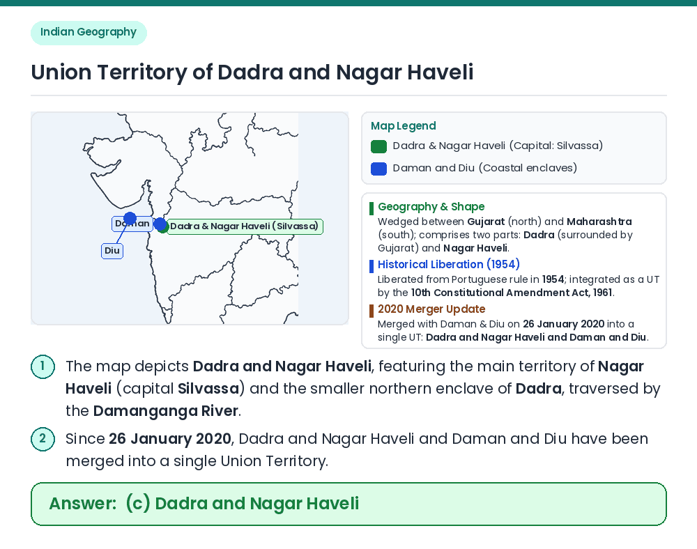
The above map is the Union Territory of
Show answer & explanationShow explanation
Answer: (C) Dadra and Nagar Haveli
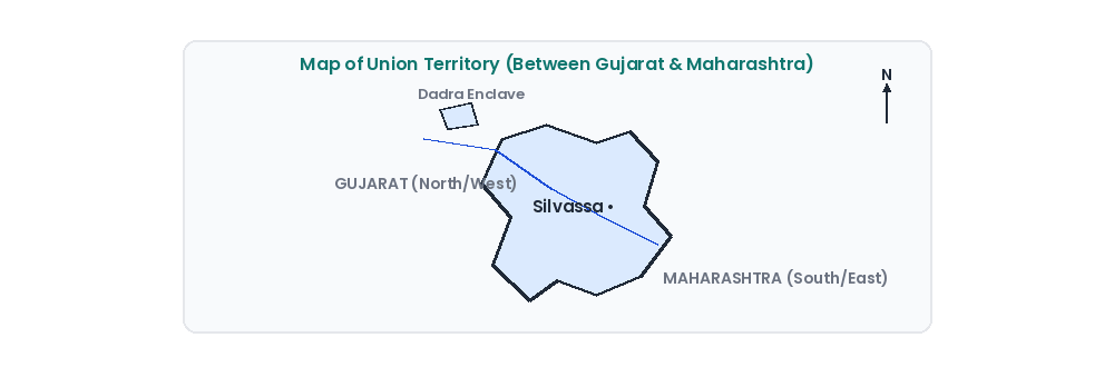
Concept: The given outline map shows an inland territory consisting of a larger southern polygon (Nagar Haveli) and a small detached northern enclave (Dadra), located on the western coast hinterland between Gujarat and Maharashtra. Identify the Union Territory: ⇒ This distinctive two-part inland outline belongs to the Union Territory of Dadra and Nagar Haveli (area ~491 sq km, capital Silvassa), drained by the Damanganga River. Eliminate Other UTs: ⇒ Chandigarh is a compact rectangular planned city between Punjab and Haryana; Daman and Diu consists of two widely separated coastal territories (Daman near Vapi and Diu island off Kathiawar); Pondicherry (Puducherry) comprises four coastal enclaves (Puducherry, Karaikal, Mahe, Yanam). Result: The map represents the Union Territory of Dadra and Nagar Haveli. Related Facts: • 10th Constitutional Amendment Act (1961): Incorporated Dadra and Nagar Haveli (liberated from Portuguese rule in 1954) as the seventh Union Territory of India. • Current Status (2020 Merger): Under the Dadra and Nagar Haveli and Daman and Diu (Merger of Union Territories) Act, 2019 (effective 26 January 2020), the two UTs were merged into a single UT with Daman as its capital. Correct Answer: (c) Dadra and Nagar Haveli