Civil Services Examination · Question 32
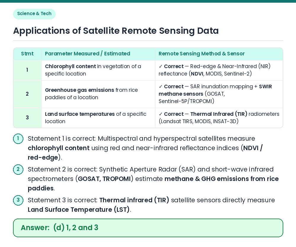
For the measurement/estimation of which of the following are satellite images/remote sensing data used? 1. Chlorophyll content in the vegetation of a specific location 2. Greenhouse gas emissions from rice paddies of a specific location 3. Land surface temperatures of a specific location Select the correct answer using the code given below.
Show answer & explanationShow explanation
Answer: (D) 1, 2 and 3
Given / Concept: Satellite remote sensing captures electromagnetic radiation (visible, near-infrared, short-wave infrared, thermal infrared, and microwave/SAR) to measure biophysical and atmospheric parameters. Statement 1: Healthy chlorophyll absorbs red light and strongly reflects near-infrared (NIR) radiation ⇒ Vegetation indices (NDVI, MERIS/Sentinel red-edge) measure chlorophyll content (Statement 1 ✓). Statements 2 & 3: Optical/radar satellites map flooded rice-paddy area and growth stages while GHG satellites (GOSAT, OCO-2, Sentinel-5P) measure methane columns to estimate rice-paddy GHG emissions (Statement 2 ✓) ⇒ Thermal Infrared (TIR) sensors measure Land Surface Temperature (Statement 3 ✓). Result: All three (1, 2 and 3) are measured/estimated using satellite remote sensing data. Related Facts: • Indian Earth Observation Satellites: Resourcesat, Cartosat, RISAT (radar imaging), Oceansat, and INSAT-3D/3DR (meteorological & surface temperature). • NDVI (Normalized Difference Vegetation Index): Computed as (NIR − Red) / (NIR + Red) to assess vegetation health and chlorophyll density. Correct Answer: (d) 1, 2 and 3