Civil Services Examination · Question 61
With reference to the Indian Regional Navigation Satellite System (IRNSS), consider the following statements : 1. IRNSS has three satellites in geostationary and four satellites in geosynchronous orbits. 2. IRNSS covers entire India and about 5500 sq. km beyond its borders. 3. India will have its own satellite navigation system with full global coverage by the middle of 2019. Which of the statements given above is/are correct ?
Show answer & explanationShow explanation
Answer: (A) 1 only
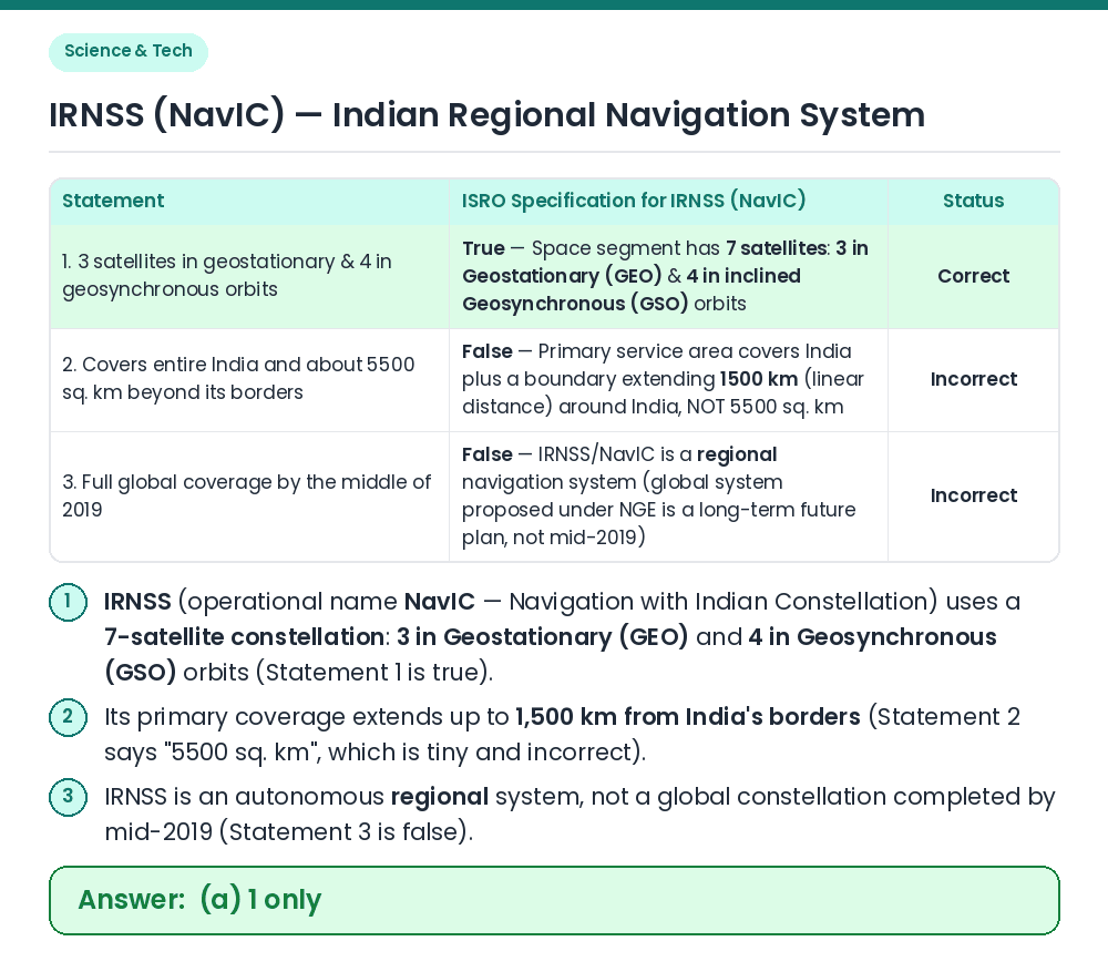
Concept: Orbital architecture and geographical coverage of ISRO's Indian Regional Navigation Satellite System (IRNSS / NavIC). Statement 1: The IRNSS constellation consists of 7 operational satellites at ~36,000 km altitude — 3 satellites in Geostationary Earth Orbit (GEO, at 32.5°E, 83°E, and 131.5°E over the equator) and 4 satellites in inclined Geosynchronous Orbit (GSO, inclined at 29° to the equatorial plane) ⇒ Statement 1 is correct. Statement 2: IRNSS covers the entire Indian landmass and a primary service region extending up to 1,500 km (linear distance) beyond India's borders, NOT '5500 sq. km' (5500 sq. km is smaller than a single district!) ⇒ Statement 2 is incorrect. Statement 3: IRNSS is a regional navigation system; India had no plan or target to achieve full global coverage by mid-2019 ⇒ Statement 3 is incorrect. Result: Only statement 1 is correct, so option (a) is the right answer. Related Facts: • Two Service Levels: (1) Standard Positioning Service (SPS) open to all civilian users (accuracy better than 10–20 metres), and (2) Restricted Service (RS), an encrypted service for strategic/military users. • Frequency Bands: Operates in L5 band (1176.45 MHz) and S band (2492.028 MHz), with newer NVS-series satellites also adding the civilian L1 band (1575.42 MHz). • IMO Recognition (2020): In November 2020, the International Maritime Organization (IMO) recognized NavIC as a component of the World-Wide Radio Navigation System (WWRNS). Correct Answer: (a) 1 only